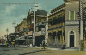
In its early days Newcastle was linked to its harbour. Its streets ran down to the water and it had a large undercover produce market at the harbour end of Market Street where farm products from the highly fertile river islands were traded. Incorporated in this market complex was a boat harbour, the headquarters of the watermen who used to take goods to the ships that came into port. The ferry wharves were also close by.
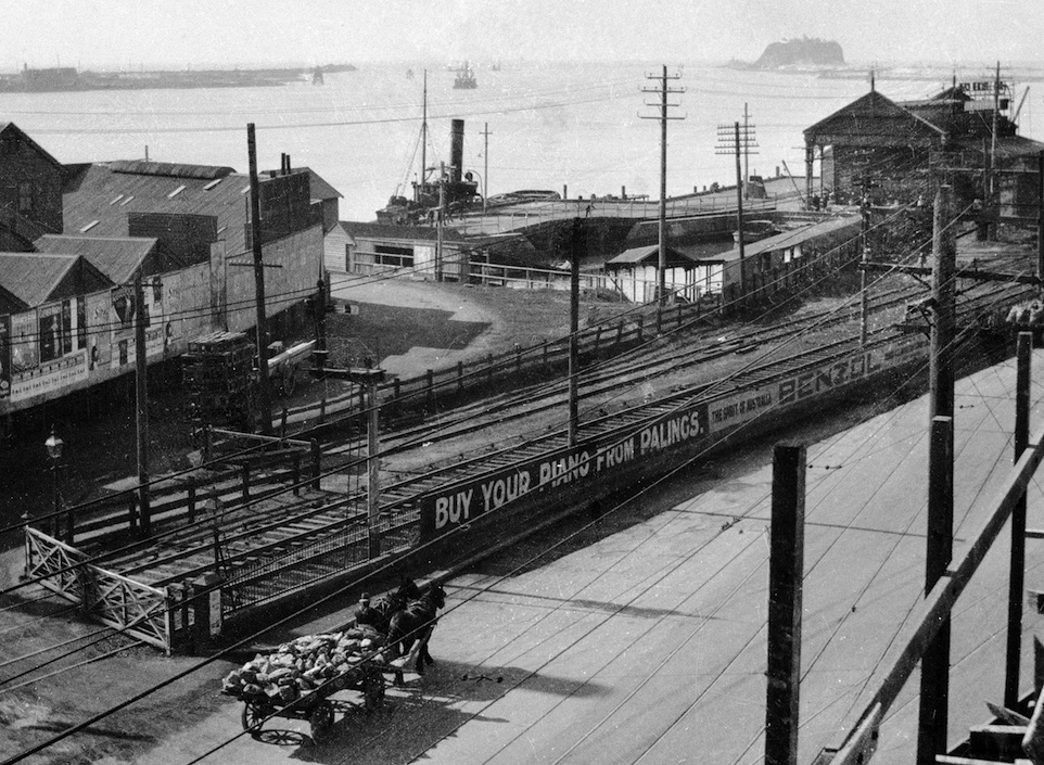
But the demands of the state government meant this situation couldn’t last. First, the government eliminated easy access to the harbour by insisting its railway be extended from its original Honeysuckle Point terminus to Watt Street. It seems strange today, considering the recent history of the railway, that this extension of the line was very much against the wishes of the city’s residents. A substantial petition was sent by citizens, begging the government not to extend the rail line from Honeysuckle and arguing that coal loading should instead be shifted to the Dyke, an area being reclaimed by the dumping of shipping ballast to form deep water wharfage. But the government wanted to make more money from the railway as quickly as it could. The old terminus wasn’t close enough to deep water for easy trans-shipment of cargo between rail and ship, and Watt Street was a quick fix for the government.
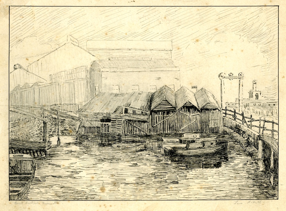

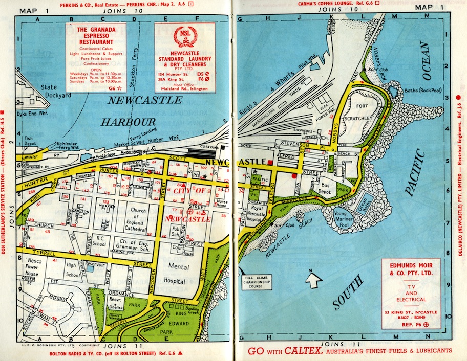
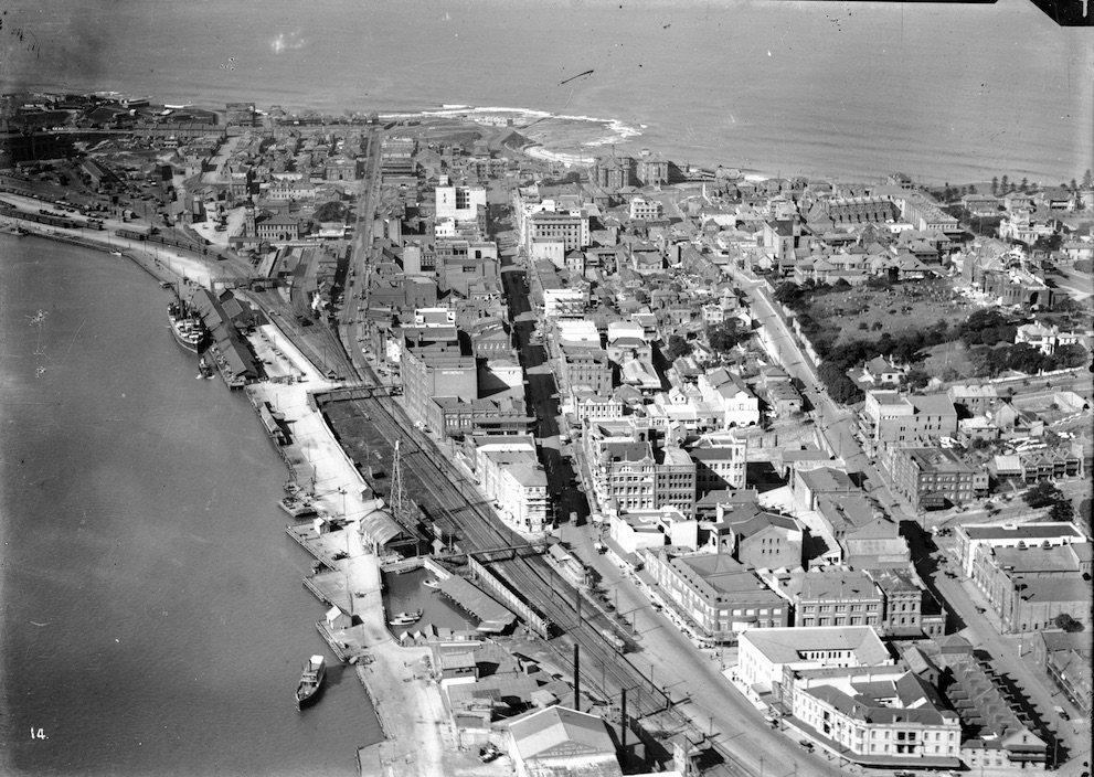
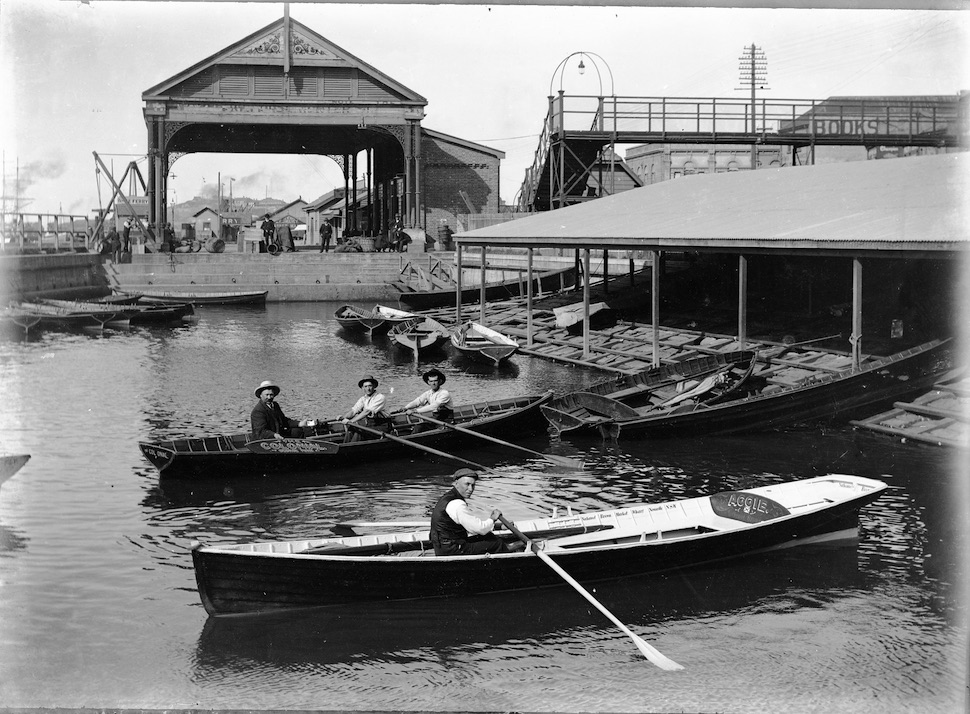
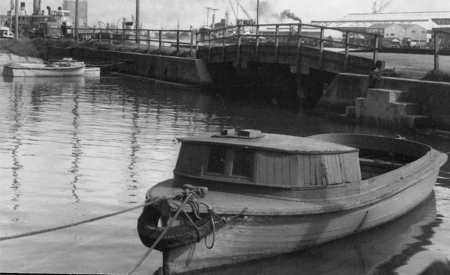
The government also wanted the city’s Market Wharf Reserve, and traded it from Newcastle Council for a portion of the boat harbour in the 1870s. Then, in the 1890s, the government decided it wanted the boat harbour to make way for railway widening. Once more against the wishes of many Newcastle people, the government resumed the boat harbour, building a replacement at the foot of Perkins Street. This “new” boat harbour was opened in 1902 and was a city landmark for many years, with its interesting arched overbridge, under which boat owners had to punt their little vessels into the wider harbour. In the 1960s the government decided to fill the boat harbour in, once and for all. Its presence is echoed by the design of the waterfront outside the 1980s-vintage Queens Wharf building – the one in recent years deprived of its notorious phallic tower.
Some people have fond memories of the little harbour. Tom Creigh, 83, said he was 15 when he worked at Lowes menswear store in Hunter Street and often ate his lunch at the harbour, watching the small boats coming and going. “There were some Maritime Services Board boats, the tender for the pilot service and one or two boats that belonged to the Public Works Department,” he recalled. “It was always an interesting and busy place to sit and watch.”
Di Davies, of Merewether, recalled her father’s small runabout that used to be moored in the harbour. “We spent many a weekend afternoon on the harbour, and being out there when the Queen visited,” she said. “Dad didn’t catch many fish, but knew all the fishermen, so we generally had fish and prawns at weekends. I once fell into the harbour off that ledge, and still remember the slimy green of the wall. Under the bridge, and amongst the rocks, the water rats were prolific.”
By the time the government filled in the boat harbour the produce markets were well and truly superfluous, since the once-fertile Hunter River islands were being converted by the state government – anxious for industrial investment – into Kooragang Island, a precinct now dominated by coal-loading, chemical plants and old dumps for decades of industrial waste.